Viejas Mountain ©
3/10/2012, by Joel Hawk
Recovering from a hard fall earlier in the week, I wanted a short, easy hike to get outside and stretch my legs. In my research online, I found a 3.4 mile hike with an elevation gain of 1460 ft. So with my trusted and beautiful fiancée Chris, off we went. Well, one out of two of my hike requirements wasn’t bad. Don’t let the short distance trick you like it did me. The ascent is challenging, but well worth the views. Experiencing this new adventure makes one almost forget the steep climb and loose rock trail. With patience, this would be a good family hike.
Part of the adventure is simply finding the trailhead. The directions in Jerry Schads book, “Afoot and Afield,” are a little off, but with some common sense, one could find their way if needed. These directions are a little clearer. Take Tavern Road South off of I-8 for 0.1 miles (I would almost take any road named Tavern Road just to see where it would go, but I may not get much hiking in). Turn left (East) at the red light on Alpine Blvd and go for about 0.7 miles where you will turn left onto Victoria Dr. Drive over I-8 along Victoria Dr for about 1.1 miles and turn left onto Anderson Road which eventually turns into Anderson Road Truck Trail. About 0.5 miles on Anderson Road (Truck Trail), you will pass two large water tanks (if not, you’re on the wrong road – turn back). Continue on for about 0.3 miles and you will see a small parking area/turn out on the left. The trailhead is a small opening in the fence and is nicely pointed out by my companion, Chris. You can’t see the summit from here, but as she points out, it’s in that direction.

The ascent is steep with really loose rocks so be sure to wear good, solid hiking shoes/boots and take a hiking stick or poles. These will save your hiney coming back down and will provide balance for you on the way up. You may want to consider long pants or a zip-away for some of the brush that is overgrowing the trail.
Total travel time up was 1 hour, 12 minutes at a reasonable, comfortable pace. The day was hazy so we couldn’t see the ocean, but could make out the skyline of Point Loma. No doubt on a clear day one will be able to see the ocean all the way to the horizon. The trail is clearly marked all the way up without any side trails meeting up although at one point Chris asked if I was sure we were on the trail or not. We were crossing over some larger rocks along the ridge, but the trail picked up on the other side.
Once you reach the top of the ridge, the trail does go North/South. If you’re a survey marker hound like me, turn South (right) as you reach the ridge and climb to the top of the second peak about 75 – 100 yards away. This was the first Azimuth marker we found on the day. Azimuth markers point toward the benchmark which we did not find. It appears the Azimuth markers were moved around at some point over time so they no longer pointed in the correct direction.

Surprisingly, we found three Azimuth markers with Chris finding her first one without me (pics below). Now she’s hooked as well and I suspect will be climbing to the top of very large boulders soon looking for these little gems. (I just heard in the background that “that” was not going to happen! I’m surprised she doesn’t want to climb the large boulders with me. Hmmm.)
After my little jaunt to the Southern View point, we headed North to the summit which used to be a winter-solstice marker built by the Kumeyaay Indians a long time ago. The story goes like this. The solstice was pointed directly at Buckman Peak toward the Southeast. The Kumeyaay would dance as the sun rose behind Buckman’s Peak during mid-December until it was directly behind the peak on Dec 21. Sadly, campers in the 70’s destroyed the monument and folks have begun building a windbreak out of rocks over the years. I can’t state these are true facts because I wasn’t there, but this is what I’ve picked up over the internet, so it must be true right? The “new” windbreak is below in the picture at the summit.

While at the summit/windbreak, this is where the other two survey markers appropriately marked #1 and #2 were found. I’ll refrain from telling you exactly where we found these so you can have a sense of adventure in finding them yourselves (but call me if you need to and it will be our little secret).


Be sure to take a lunch or snack as you take in the views. You’ve earned them from that climb up! Just below and to the East is Viejas Casino and immediately to the South is Bell Bluff. Farther South is Mexico and all around you are exciting peaks awaiting your calling. Just pick one or two for your next adventure and get outside to enjoy life.


Looking NW, one could see the very prominent face and sheer cliffs of El Capitan and El Cajon Mountain with short glimpses of the El Capitan Reservoir down below. (I took this picture on the ascent, so you can’t see the reservoir from this height.)

What a striking sight to see. I proudly boasted to Chris about which peaks I had climbed over the last few months. I’m not sure if she was impressed or not, but it was a cool story. The temperature was very mild with a gentle breeze keeping us right on the verge of almost warm to being chilled. It was a very comfortable day for a hike. While sitting in the windbreak looking around at the marvels in our own backyard, one could hear the quiet of nature along with occasional, distant and comforting sounds of small aircraft as they land or take off at Gillespie Field in El Cajon.
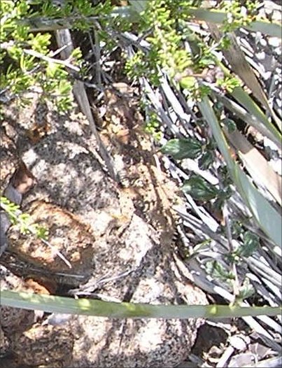
The wildlife was pretty typical for a heavily traveled trail. We saw our good luck charm, “The Hawk,” ravens, grasshoppers, lizards, a horned toad (picture below), and lots of flutterbys. The butterflies were in all sizes, shapes and colors and we saw two flying in tight circles going around each other climbing vertically for 15 – 20 yards during their mating dance. It’s always fun to see the wildlife even on such a small scale.
The trip back down was uneventful and almost tedious with the loose rocks. At one point we were both dancing down the trail trying to remain upright with the loose stones beneath us. Fortunately, we didn’t fall, but as I said earlier, I highly recommend good hiking poles for balance.
Obviously, our trip down was much faster than our trip up. I wonder if it was because we were thinking of how good that margarita and lunch was going to taste at Murrietas or if it was just my mass in motion? And the food/marg was very good, but that’s another story….

Be safe, enjoy living and appreciate our lands. ~ Joel
Elevation Info: NAVD88 Elevation: 4189 ft / 1277 mLatitude/Longitude (WGS84):
32° 51' 40'' N; 116° 43' 34'' W
32.861245, -116.725978 (Dec Deg)
525638E 3635938N Zone 11 (UTM)
No comments:
Post a Comment