Wednesday, May 13, 2015

Valley of Fire


Valley of Fire ©
April 23, 2015, Joel Hawk
(Click on pictures to enlarge)
 (I changed phones and sure nuff...lost my pictures in the process).  It's beautiful...trust me.  I'll leave the information posted for general interest.

We were playing a Senior Softball Tournament in Las Vegas and decided to start adding little adventures on our softball trips.  Looking into what to do around LV, I saw this State Park and made plans to check it out.  It's a short 45 minute drive North of Vegas on I-15 and there are plenty of signs to help point the way.  Not many stores or gas stations, so be prepared before you strike out.  Great drive and if you're lucky like we were, not many visitors driving through the park.  Most of this post will be pictures and they alone will tell the story with a few comments as an aside.


One of the first things we saw were the Beehives.  A natural rock formation created by wind and water and it's only a few yards off the road.  As I mentioned, the sights to see are well marked so if it's something you would like to visit, just keep an eye out for the signs.


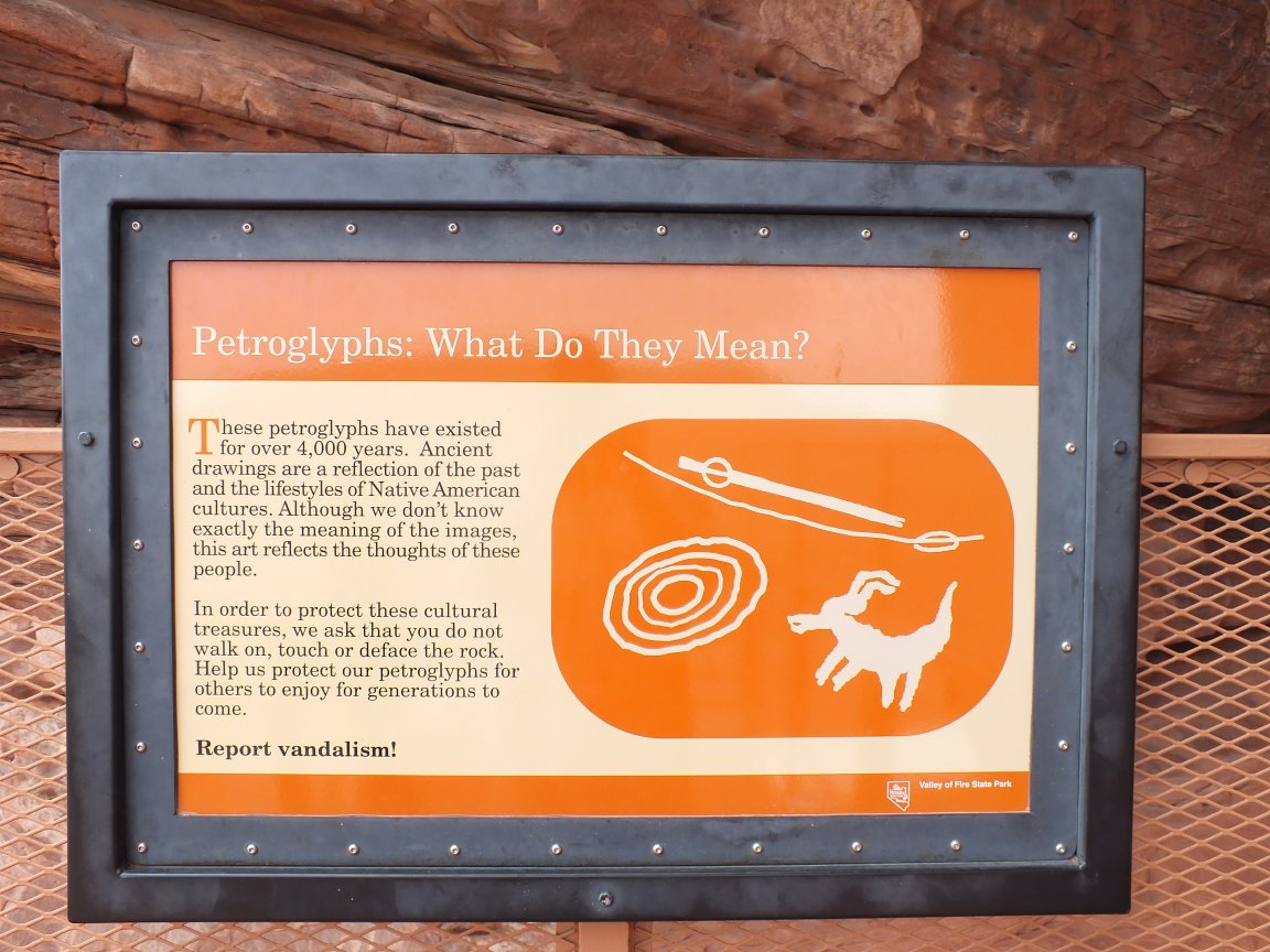
The next sight we came upon was Atlatl Rock where we saw some exceptional ancient Indian rock art, or petroglyphs.  Viewing these art pieces high up on the rocks is made easy using the man-made stairway. There are facilities here and in many other spots, so no fear ladies.  


 I'm so lucky to have such a gorgeous hiking buddy....


 Along the same path is a naturally made Arch Rock.  Look closely at the last picture as I used Arch Rock to frame the large cliffs in the background.


 As you could imagine, the rock formations and colors are stunning.  We did not visit on a particularly sunny day, but still we enjoyed the beauty that Nature provides in our land.

Driving down the road and looking up at the skyline, I discovered screaming rock.
Our next adventure is to Mouse's Tank where there are hundreds of petroglyphs along the canyon walls.  This is a short hike through the canyon and it is heavily traveled.  No fear of getting lost or having to boulder jump/scramble like I do in many of my hikes.  There are so many petroglyphs that I will just post the ones I thought were interesting.  No one knows how old these are or what they really mean, but I added a picture of a sign discussing what they could mean.


Next, we traveled to Silica Dome where stark white meets with rich reds.


Running out of time and getting a little thirsty, we found a spot overlooking the vast valleys to watch the sunset.
As the sun was setting, we talked about how lucky we are in this life and how about the love we share with each other.  We are truly blessed.  And though the sun is setting on this day, we look forward to tomorrows sunrise and new adventures.


Be safe, enjoy living and appreciate our lands.   ~ Joel


For more information and brochures, visit this link.

http://parks.nv.gov/parks/valley-of-fire-state-park/


Monday, April 13, 2015

Peak 3339


P3339 ©
April 12, 2015, Joel Hawk
(Click on pictures to enlarge)
Same thing....lost the pics with my new phone.
Today is slated to be a solo hike to an obscure, little known peak in San Diego called P3339 (named due to the elevation). Expecting the day to be in the mid-to-high 80s per the weather-guessers, I left Point Loma at 4:00 a.m for the 1 hr 40 minute drive.  Man it's nice driving on these roads without any traffic.
Anyway, after a quick sandwich stop, I arrive at the trailhead right on schedule.  This is called the Desert View Overlook.


The day is breaking enough to where I can see now, so time to strap on the boots and backpack to get going.  It's a crisp 41 degrees and perfect for the hike.

 The trailhead is easy to find and away I go.

Gonna come back to this.

A little background for the area. (Click any picture for a larger view)

Ah yes, this is pleasant.

The desert flowers are still in bloom and as you can see in one of the pictures below, they lined my path for me.  I followed this bike path for a couple of miles before departing and starting my bushwhacking and scrambling.


The hike starts off high, drops down to the desert floor and then you climb again to reach the peak.  This offers great views at the beginning, in the middle and at the end.  Beautiful.


I pay good money for these plants and care for them, feed and water them.  It's a struggle...and look at this guy growing right out of a crack in the rock without so much as any help.  It may take some imagination for you, but this rock resembles an animal face with the eye, nose and mouth lines (a snub-nosed dolphin maybe).  On the trail, I entertain myself...well, off the trail too.

Scrambling up, over, around and sometimes under, I find myself at the summit.  No benchmark or register, but Garmin has me standing right on the spot.


It was such a beautiful day and I was solo, so I added a couple of miles to my trip.  I decided I wanted to climb this pile of rocks in the distance because they were there.  This promised to offer views down into Carrizo Gorge - and it did.

Once there, I found myself almost to the floor and I looked up.  Yep, I better start my trek back before I get myself into a situation.  I'll head for that saddle waaaaay up there and change routes if needed once there.  C'mon legs, don't fail me now.


That was some climb, and I only have about 3 miles to go.

The return trip was uneventful though I did see snake tracks across my original path.  They are out now.  And I told you I was going to come back to this.

Great hike, perfect day.  We just don't know what we are missing in life without getting out there and seeing new things.  If you're interested in learning more about McCain Valley, here's the BLM link.


Be safe, enjoy living and appreciate our lands.   ~ Joel

Directions and the numbers:
Take I-8 to Campo/Boulevard exit and go south 0.45 miles to a stop sign. Turn left (E) onto Old Highway 80 and go 2.3 miles and turn left (N) onto McCain Valley Rd.   After about 1.5 miles or so, the paved road becomes a dirt road.  Stay on McCain Valley Rd.  Once you cross Lost Valley Rd, in 3/4 mile there is a short finger (dirt road) to the right.  Park in the roundabout.  Total round trip was 8.25 miles with the route I took (not just to the peak and back).  Total ascent was 3021 ft and max elevation was 3356 ft.   Overall this took about 5 hours.
Copyright: All Rights Reserved