Monday, April 13, 2015

Peak 3339


P3339 ©
April 12, 2015, Joel Hawk
(Click on pictures to enlarge)
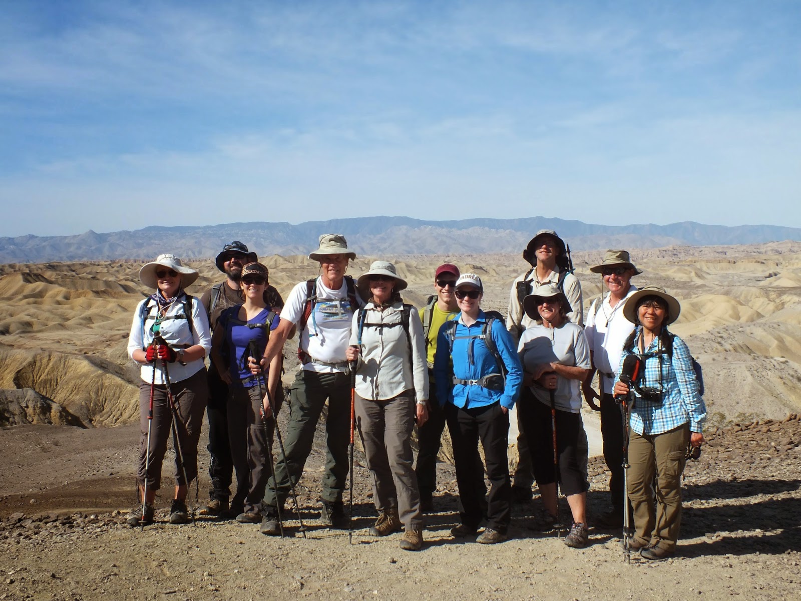
Same thing....lost the pics with my new phone.
Today is slated to be a solo hike to an obscure, little known peak in San Diego called P3339 (named due to the elevation). Expecting the day to be in the mid-to-high 80s per the weather-guessers, I left Point Loma at 4:00 a.m for the 1 hr 40 minute drive.  Man it's nice driving on these roads without any traffic.
Anyway, after a quick sandwich stop, I arrive at the trailhead right on schedule.  This is called the Desert View Overlook.


The day is breaking enough to where I can see now, so time to strap on the boots and backpack to get going.  It's a crisp 41 degrees and perfect for the hike.

 The trailhead is easy to find and away I go.

Gonna come back to this.

A little background for the area. (Click any picture for a larger view)

Ah yes, this is pleasant.

The desert flowers are still in bloom and as you can see in one of the pictures below, they lined my path for me.  I followed this bike path for a couple of miles before departing and starting my bushwhacking and scrambling.


The hike starts off high, drops down to the desert floor and then you climb again to reach the peak.  This offers great views at the beginning, in the middle and at the end.  Beautiful.


I pay good money for these plants and care for them, feed and water them.  It's a struggle...and look at this guy growing right out of a crack in the rock without so much as any help.  It may take some imagination for you, but this rock resembles an animal face with the eye, nose and mouth lines (a snub-nosed dolphin maybe).  On the trail, I entertain myself...well, off the trail too.

Scrambling up, over, around and sometimes under, I find myself at the summit.  No benchmark or register, but Garmin has me standing right on the spot.


It was such a beautiful day and I was solo, so I added a couple of miles to my trip.  I decided I wanted to climb this pile of rocks in the distance because they were there.  This promised to offer views down into Carrizo Gorge - and it did.

Once there, I found myself almost to the floor and I looked up.  Yep, I better start my trek back before I get myself into a situation.  I'll head for that saddle waaaaay up there and change routes if needed once there.  C'mon legs, don't fail me now.


That was some climb, and I only have about 3 miles to go.

The return trip was uneventful though I did see snake tracks across my original path.  They are out now.  And I told you I was going to come back to this.

Great hike, perfect day.  We just don't know what we are missing in life without getting out there and seeing new things.  If you're interested in learning more about McCain Valley, here's the BLM link.


Be safe, enjoy living and appreciate our lands.   ~ Joel

Directions and the numbers:
Take I-8 to Campo/Boulevard exit and go south 0.45 miles to a stop sign. Turn left (E) onto Old Highway 80 and go 2.3 miles and turn left (N) onto McCain Valley Rd.   After about 1.5 miles or so, the paved road becomes a dirt road.  Stay on McCain Valley Rd.  Once you cross Lost Valley Rd, in 3/4 mile there is a short finger (dirt road) to the right.  Park in the roundabout.  Total round trip was 8.25 miles with the route I took (not just to the peak and back).  Total ascent was 3021 ft and max elevation was 3356 ft.   Overall this took about 5 hours.
Copyright: All Rights Reserved

Mount Tule


Mount Tule ©
April 12, 2015, Joel Hawk
(Click on pictures to enlarge)
Lost the pics with my new phone....

Short hike with loads of fun driving the jeep on the dirt roads and up the mountain.  Great views over McCain Valley.  I don't get the idea to go 4x often with my busy schedule, so I appreciate every chance that comes up.

If one takes this approach, it's a very short hike.  Steep hill, but not much of a challenge.
Jack Bagger is training for his last two mountains to complete his 100 peaks, so he came out to join me.  He had already hiked this earlier in the morning by the time I got there from my other hike.  In about 15 minutes or so, we were on top.  Someone has stolen the Benchmark, but the two directional survey markers at still there.
Fantastic views of McCain Valley from the back of my jeep.


A buddy of mine has lived at the base of Mount Tule for most of his life.  He has hiked and hunted this area for years and told me about seeing bucks on the mountain all the time.  This is just a little fun with my buddy.


Back down the mountain and ready for my trip home.  It was a great day out here with the high temp reaching 76.  Perfect.  Time to plan my next adventure.  If you were interested in learning more about or exploring McCain Valley, here is the link. 

Be safe, enjoy living and appreciate our lands.   ~ Joel

Directions and the numbers:
Take I-8 to Campo/Boulevard exit and go south 0.45 miles to a stop sign. Turn left (E) onto Old Highway 80 and go 2.3 miles and turn left (N) onto McCain Valley Rd.   Take MV 52 dirt road to the right (on the sign it says Sacatone Overlook).  Take the MV 55 dirt road to the right.  If you have a 4 x 4, this is a fun road and can take you up to about .4 miles from the summit.  Otherwise, a stock vehicle can take you up the road for a good piece before you should pull over.  Total round trip from the end of the dirt road by jeep is .4 miles, 772 total ascent with a max elevation of 4656 ft.   Overall this took us about 30 minutes.
Copyright: All Rights Reserved

Wednesday, April 8, 2015

Split Mountain East


Split Mountain East ©
March 15, 2015, Joel Hawk
(Click on pictures to enlarge)

Our adventure for this day included several events; a hike, a sightseeing tour and a stop at our favorite winery in Ramona (Chuparosa).  Some friends we were going to meet up with had made a weekend of it and stayed the night before on the desert floor under the stars.  Now that's beautiful.


Jack, Chris, Dorie and I met early in the morning for our trek out to the trailhead. Along the way we saw one of natures best dances; the turkey trot.


 After about a 2 hour drive, we came upon the meeting place/trailhead for our hike.  Once geared up, off we went.


 The elephant knees are quite the sight; massive and with some imagination, one can see why they are named so.
 It's early Spring and the desert flowers are just starting to bloom.


 We had 12 in our initial party to see the wind caves.  Several of the ladies were then going back to explore the elephant knees and area for sharks teeth and shells.


 The wind caves were less than spectacular, but its always interesting to see what mother nature creates with her tools.


 Now there's someone spectacular.

 The mandatory Captain Morgan pose.


 Sombrero Peak in the distance.


 OK Shortcut, which way?  Click on the picture below for better understanding.

 Interesting deposit and formation. After conversing with others, this could be a fossilized footprint.  I told them I'm old, but it wasn't one of mine.

 Doesn't look too bad from this angle.


How about from this angle?


 I am always amazed at the persistence of nature.  If a plant wants to grow, it can and will.

 Ah, the summit.  Lunch time!
 Looking at the summit from another perspective.  Here's me looking at you, look at me and looking at them.  Wow...cool shot.

 Time to go.

Yes, we did.

 Yes, we did it again.

 Our climb out of the gorge.
 Hike check in the block and on to our next event.  We decided we would visit the metal statues outside of Borrego Springs at Galleta Meadows Estate.  This fella has his art in several places throughout the county.  It's free and most cars can drive around the desert art without 4 x 4.
For more information and a lot better pictures, you can check out this link.


http://www.tripadvisor.com/ShowUserReviews-g32099-d4173682-r254182677-Galleta_Meadows-Borrego_Springs_California.html#photos


And now for the best treat of the day, a stop for snacks and tasting at our favorite winery.  The proprietors are awesome people and the wine they make is the BOMB!


 Be safe, enjoy living and appreciate our lands.   ~ Joel
Directions and the numbers:
Travel East from Julian on 78 for quite a distance, including dropping down Banner grade.  Turn right on Split Mountain Road and stay on the paved road until you come to Fish Creek Wash.  Turn right and follow the path of other vehicles.  This is a highly used wash so you can't go wrong.  As you come out of Split Mountain, the trailhead to the wind caves is on the left.  The hike up to wind caves is an easy .5 family hike.  The hike to Split Mountain East is not recommended for family with very little if any trails.  Total round trip is appx 4 miles, 1562 total ascent with a max elevation of 1690 ft.   Overall this took us about 3 hours.
Copyright: All Rights Reserved