Otay Mountain ©
May 12, 2012, Joel Hawk
Jack and I had just finished hiking Tecate Peak and decided we had enough gas to bag another peak while we were so far away from home. Without proper planning, we weren’t sure exactly how to get to the trailhead, but we pressed on. In looking at the maps we had, we could tell we were in for another road hike, so we drove up the Minnewawa Truck Trail to Dog House Junction.

It's only 1 mile to the summit from there so it’s not a long hike, but it was already starting to get warm, so we opted for the easy way up/down and get home to the ladies before we got into trouble (again) for adding another peak. They should know us by now wouldn’t you think?

After parking at Doghouse Junction, I was putting on my gear. In no time at all, Jack had already gotten into trouble. Not sure where the Border Patrol came from, but he was talking and pointing with Jack. It was all good; I’m just teasing. I did ask the Border Patrol about how Doghouse Junction got its name. The story he told us is that it is named after a dog house fell off a truck and rolled down the hill a little. The jury is out if he really knew the story or was just having fun. Funny either way.

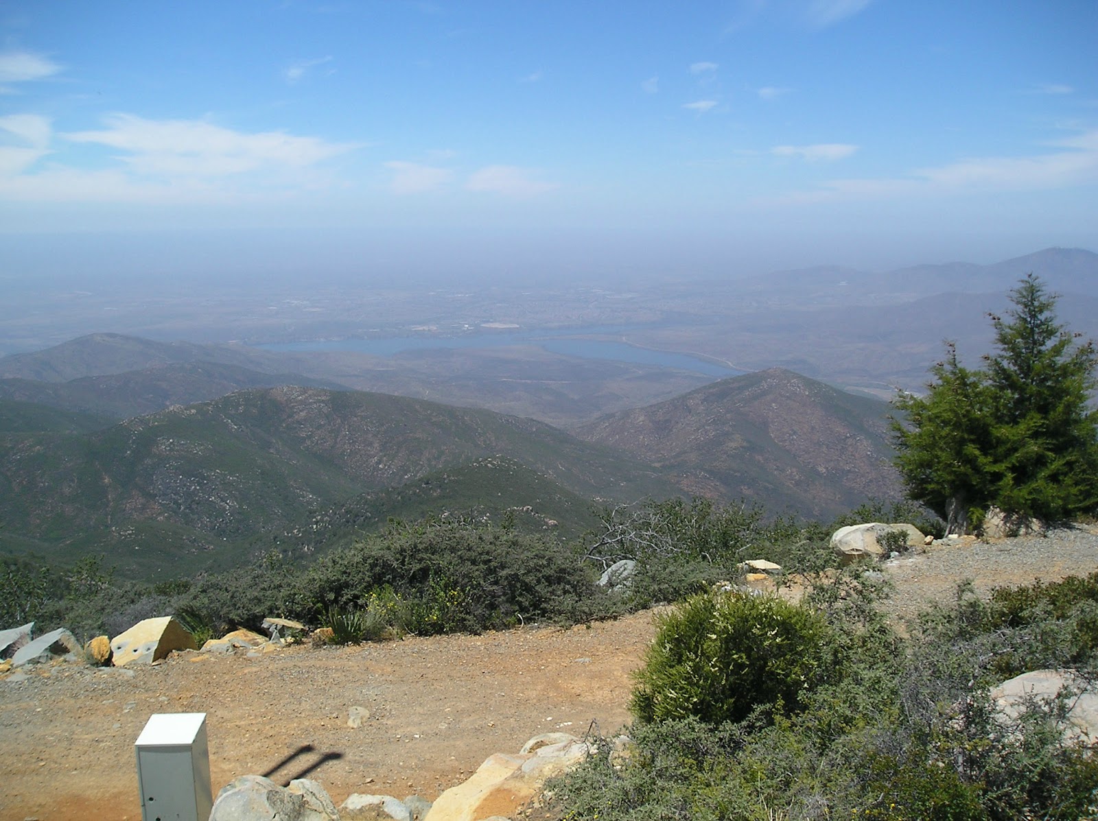
A short stroll up confirmed the great views I had read on other posts. It was a little hazy, but there was the Lower Otay Reservoir.

The rocks weren’t really anything special to climb up on, but hey, this is what we do! Here’s Jack on the highest rock we could find.


And not to be out-done, I climbed up as well.


We explored the summit a little and to our surprise, I found an azimuth marker which was pointing to nowhere, so I couldn't find the benchmark.


Short hike, short article, big fun just the same.
This was only a 2 mile round trip if you drive up to Doghouse Junction.
This was only a 2 mile round trip if you drive up to Doghouse Junction.
Be safe, enjoy living and appreciate our lands. ~ Joel
Directions and the numbers:
Travel East on 94 until you come to Coyote Canyon Café at 14615 Otay Lakes Road Jamul, CA 91935. Drive up Otay Mountain Truck Road until you get to Doghouse Junction. You can’t miss it. A regular passenger vehicle should be able to make it, but guaranteed a 4x4 will.
Latitude/Longitude (WGS84)
32° 35' 40'' N; 116° 50' 41'' W
32.594533, -116.844673 (Dec Deg)
514576E 3606349N Zone 11 (UTM)
Latitude/Longitude (WGS84)
32° 35' 40'' N; 116° 50' 41'' W
32.594533, -116.844673 (Dec Deg)
514576E 3606349N Zone 11 (UTM)
No comments:
Post a Comment