Bell Bluff ©
April 22, 2012, Joel Hawk
We’re off onto another adventure in our fantastic and really diverse County. We are so fortunate to live in one of the best places on earth. The fog/overcast plaguing the coastal areas lifted just as we started our exit off I-8 onto Tavern Road which made for a clear day from our perspective. We were socked in all the way from the coast to our pickup point just off Tavern where we were picking up Uwe (ooh-va). My hiking partners today are Jack DeFranco and Uwe Luettringhaus (and although somewhat experienced, I was their anchor today – these guys can motor). Even knowing what I was looking for, we drove past the trailhead twice without seeing it.


We were only about 100 yards into our hike and we found ourselves crossing the Sweetwater River. Some Trail Angel has placed a wooden ladder across the river to help keep our feet dry, so thank you Trail Angel. The ladder is very sturdy but I noticed both Jack and Uwe crossed over before I did….wonder why they did that? (I weigh in about 270 lbs.)

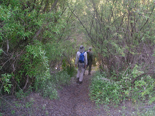
Within just a few hundred yards of beginning our adventure, we saw a lot of deer tracks. It’s always encouraging to see how our local wildlife has adapted to life in such close proximity of residential neighborhoods. I saw a cute bunny pause to check us out before darting into the underbrush and various scat from other animals. We saw some type of small cat print after about 2 miles or so, but I couldn’t figure out what type of animal it was. The first part of the trail followed the river down below and though we could not see it, we could hear a nice sized waterfall. It’s so quiet out there even with all the homes close by even these worn out ears could enjoy the peaceful sounds of natural water running and falling. In fact, for the whole hike we only heard a few sounds from vehicles on I-8 and Japatul Road. I could tell this was going to be a beautiful hike.
That’s where we’re headed…boy that sure looks a long way away.
Not sure of the purpose of this flag, but it was there and Jack wanted to climb the rock to see it closer – so he did!
I’m not certain why these gates were there (there were two) or why the barbed wire fence crossed over the Spanish Bit Trail, but if you go out for this hike, be aware of the barbed wire because it’s hard to see. We suspect the gates are there to stop motor vehicles from using the trail. Some Trail Angel identified the wire for us by placing these limbs across it so you’d have to pick up your legs. Thanks again Trail Angel.
GOOGLE Earth is your friend and although there are no real trails to the top once you leave Spanish Bit Trail, just keep climbing and you’ll get there. We found a few cairns confirming the fact that others who didn’t know where they were going had been there before as well.
The Sunrise Powerlink Station marks the turn up to the top. You’ll leave Spanish Bit Trail and the road to start bushwhacking up. This is not a hike for the family. One will want to accept walking through brush and over rock faces without a known trail. Scrapes, pokes and bleeding are to be expected. Always be aware of natural hazards and wildlife.
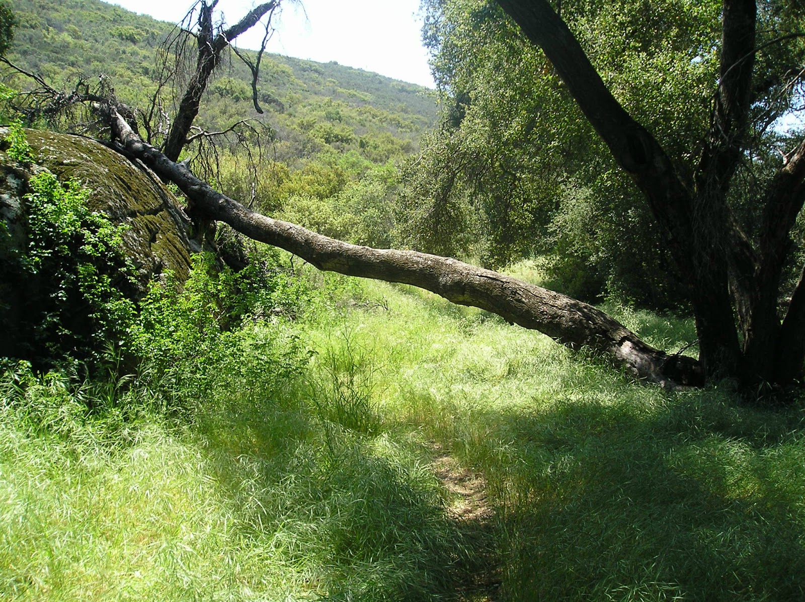
Yes, there was some bushwhacking and scrambling involved. There are several alternate routes up Bell Bluff and I’m sure we took several of them along our trek. We opted for the easier climb working our way up the East side vs. climbing straight up. The climb up the face appeared to be a little daunting for our first hike in a while although one could see the “fun factor” in conquering that route. We could see some green tape tied to bushes so one could sort of figure out how to climb up the front part of Bell Bluff. Continuing along the “easier” route, we stayed on Spanish Bit Trail circling around to the Eastern side of Bell Bluff.


Looking for the benchmarks, I was prepared to climb some pretty tall boulders, but thankfully Uwe found their location before I climbed anything. We’re not sure of any specifics, but we think we’ve figured out why there are three markers at any one peak. One is the true benchmark and is identified with a triangle where the other two have arrows which point to the true benchmark. The BM on most topo maps identifies this one benchmark. If anyone has more information about benchmarks or could offer some additional remarks, please contact me.


I found the perfect spot for lunch and climbed up on this rock for a great view of the other mountains/peaks and both Palo Verde Lake and Loveland Reservoir. As I was looking out over the horizon picking out the different peaks I’d climbed, I heard Jack say something about I’d climbed that high on the rocks to keep my Cheetos safe. He referenced how a mountain lion would carry his kill to the top of the rock so no one could get at it…good point and something that came naturally to me. I shared anyway to keep in good graces of my companions.
I had marked my topo maps with other mountains/peaks I’d climbed so I could easily orient my current location to them. Even though I’ve climbed a number of these in the past, they always look different from another peak. It’s always good to have a map and compass while hiking anyway, but doing this adds more fun to the hike and brings up different stories/memories from the past. This is part of the Loveland Reservoir.
Some roads are lined with palm trees for beauty; mine are lined with a variant of the yucca plant in bloom. These blooms have a light citrus smell to please the nostrils and sharp tips to heckle the legs. We all suffered from walking into these while looking around while we were walking.
The spring flowers were in bloom offering a multitude of different colors. I noticed a lot of the “butterfly bush” with light purple colors and the normal whites, yellows and reds.
Rattler – on our decent, Jack stopped because he heard Mr. Rattler nearby. By the sounds of it, it was a big one, but we never saw him. We entered into his home unannounced and he wasn’t happy about it. Being good guests and obviously unwelcomed, we left as quickly as we could. One could say our average pace quickened for a few hundred yards. Both Uwe and myself took wide, alternate paths around the area Jack was in.
Ticks – there were lots of ticks, but I’m thinking we came across them at the end of the hike while sitting on the boulders next to the car. Both Jack and Uwe found a couple on their clothes as we rested and then again on the drive back to the drop off point. I’ll be driving my other truck for a couple of weeks letting any of the remaining fellas find some other home.
Poison Oak is growing – it is the season. We didn’t see a lot of it, but I did see a couple of patches. Wear long pants and sleeves to minimize any inadvertent exposure. Helps with the ticks as well – oh, and the bushwhacking.
I thought I was going to miss out on seeing my hiking buddy, the Hawk. But during the last mile in, we saw one gliding gracefully on the thermal updrafts completing his 360’s in the sky. Only one quick sunlit moment of his wings confirmed it was a Hawk and that was all I needed to feel complete.
It was a very fun trip with my friends with a few of the normal aches and scrapes providing evidence of bushwhacking. Not anything a cool one and time wouldn’t heal.
The trip out was rather hot, but we enjoyed a nice breeze on the trip back in. And the location of the river could not be more perfect so one could soak tired, sore feet in cool water. Ahhhhh……
Be safe, enjoy living and appreciate our lands.
~ Joel
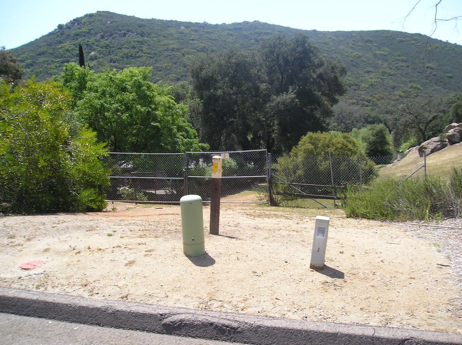
Directions and the numbers: Travel I-8 and exit on Tavern Road going South. Turn left at South Grade Road and then right at Via Viejas. Left on Via Belota and right on Via Dieguenos. Go about .8 miles and park at the corner of Calle Colina Roca then walk to the trailhead. This is in the Cleveland National Forest, so displaying an adventure pass is a good idea. Not sure it’s required. Total round trip: 9.73 miles, 1445 total ascent reaching 3403 max height. Took us 4 hrs, 11 minute total travel time and about 5 hours with breaks/lunch. The trail is fairly easy to identify until you start the ascent.
Latitude/Longitude (WGS84)
32° 48' 23'' N; 116° 42' 5'' W
32.806367, -116.701362 (Dec Deg)
527958E 3629861N Zone 11 (UTM)


No comments:
Post a Comment